Skip to main contentResource added 
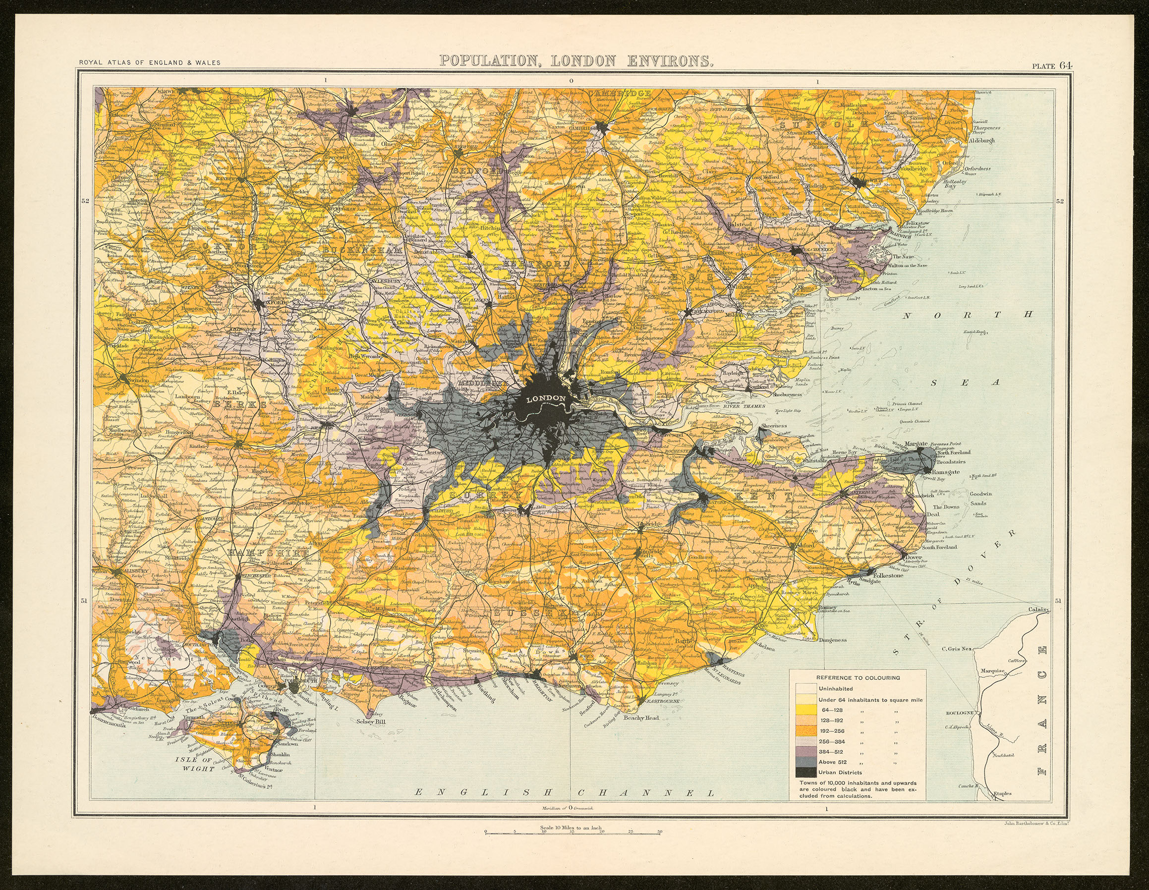
Figure 3.1
A Map displaying both population density and railway lines, used by Patrick Geddes, (original from Bartholomew’s Royal Atlas of England, 1899, reproduced with permission of the Newberry Library).
Download image “Figure 3.1”
- typeImage
- created on
- file formatjpg
- file size2 MB
- copyright statusPublic domain
Manifold uses cookies
We use cookies to analyze our traffic. Please decide if you are willing to accept cookies from our website. You can change this setting anytime in Privacy Settings.