Skip to main contentResource added 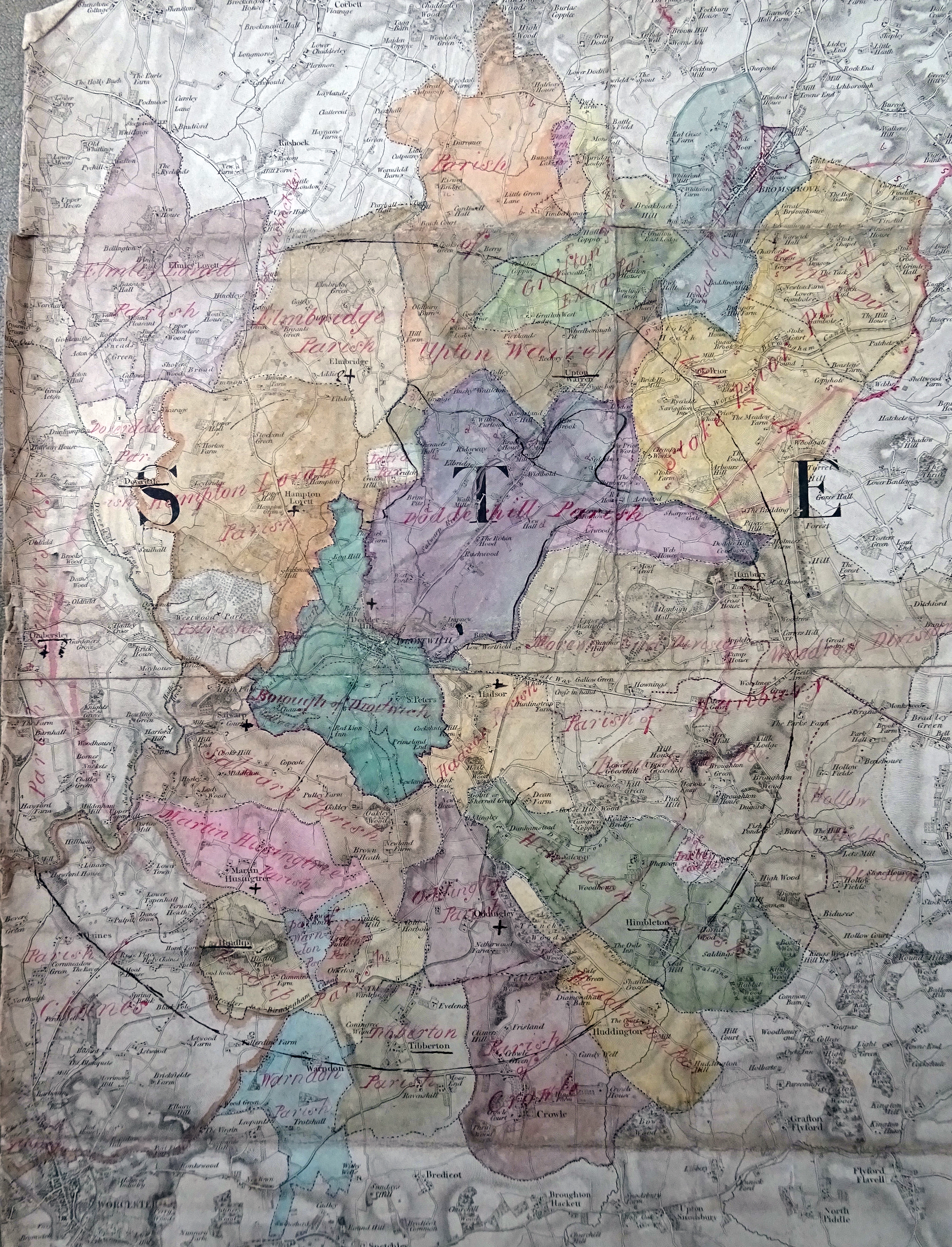
Map 6.2 Four-mile radius around Droitwich for identifying reformed boundary
Map 6.2 Four-mile radius around Droitwich for identifying reformed boundary, T72/9/9 © The National Archives
Comments
to view and add comments.
Annotations
No one has annotated a text with this resource yet.
- typeImage
- created on
- file formatjpg
- file size13 MB