Mapping Crisis
Participation, Datafication and Humanitarianism in the Age of Digital Mapping
Since the rise of Google Earth in 2005, there has been an explosion in the use of mapping tools to quantify and assess the needs of those in crisis, including those affected by climate change and the wider neo-liberal agenda. Yet, while there has been a huge upsurge in the data produced around these issues, the representation of people remains questionable. This book brings together critical perspectives on the role that mapping people, knowledges and data now plays in humanitarian work, both in cartographic terms and through data visualisations, and questions whether, as we map crises, it is the map itself that is in crisis.
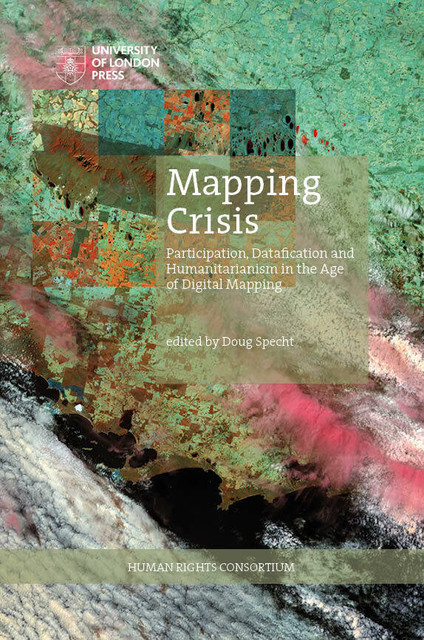
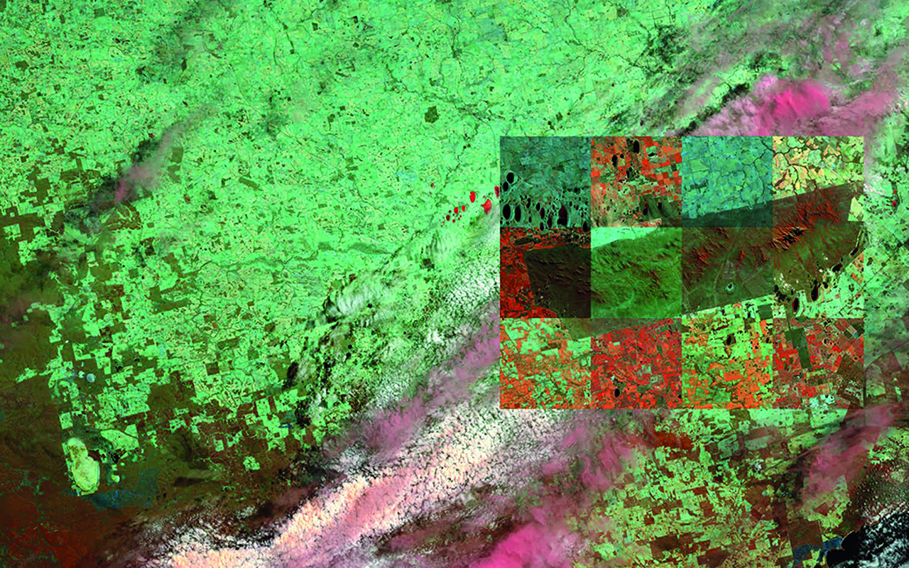
Cover image: “12 Months Over the Stirling Ranges” (detail), Grayson Cooke, 2018. Produced with the support of Geoscience Australia, and with the assistance of resources from the National Computational Infrastructure (NCI).
Contents
Metadata
- isbn9781912250561
- issn3049-9232
- publisherUniversity of London
- publisher placeLondon
- restrictions
- rights© the Authors 2020
- rights holderthe Authors
- rights territoryWorld
- series titleCritical Human Rights Studies
- doi