Skip to main content
Mapping the State
English Boundaries and the 1832 Reform Act
Martin SpychalAuthor
Mapping the State leads to a fundamental rethinking of the 1832 Reform Act by demonstrating how boundary reform underpinned this turning point in the development of the British political nation. Using significant new archival discovery, digital methods and ‘big data’, it provides a major reassessment of why and how the 1832 Reform Act passed, its impact on reformed politics both at Westminster and in the constituencies, and its significance to the expansion of the modern British state.
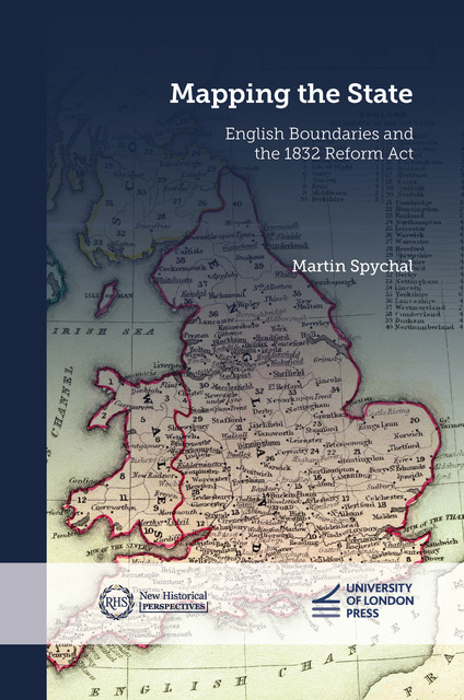
Background image: Composite image of 'The Constitution of 1832', Thomas Starling, Geographic Annual of Family Cabinet Atlas (1833)
Contents
Metadata
- isbn9781914477751
- issn3049-5105
- publisherUniversity of London
- publisher placeLondon
- restrictions
- rights© Martin Spychal 2024
- rights holderMartin Spychal
- rights territoryWorld
- series titleNew Historical Perspectives
- doi